This is an Easy/Medium Grade out-and-back/loop one-day urban walk, in parks and streets) and covers about 19km. The terrain is undulating, with some hills.
As we haven't done this walk since 2020, it must be time again!
Part of the route will cover the board walk along the mangroves at Hobsonville. After this we'll head up the Greenhithe Bridge making a beeline for numerous hidden gems: bush tracks and parks tucked away around Greenhithe that make a big loop with hills along the way for a decent work out, before returning back down to Hobsonville. 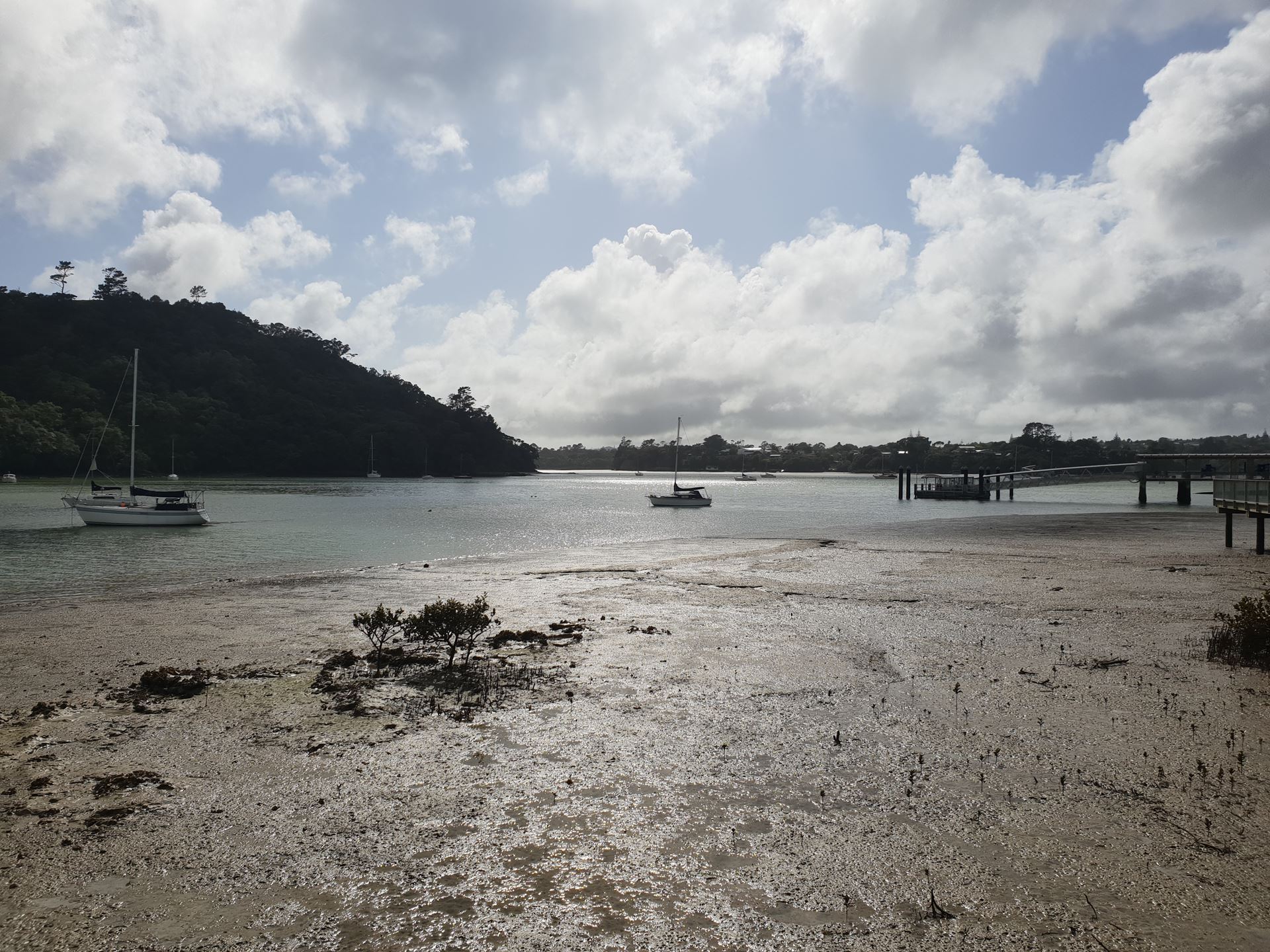
There is very pretty coastal scenery - more attractive than the photo opposite, because we start at high tide, 8.30am, 3.2mtr tide. It includes urban tracks most won't be aware of. Bring your camera or camera phone.
Please check: Trip Gradings, look at the online map (link below), and do your own research, if unsure about going.
Register by: Saturday 26th, 9pm.
For non-members and new members who haven't walked with us yet, please phone the organiser, Imogen (027 2898440) to be registered. Personal contact by 9pm - no text messages please.
Registration Conditions: Members, please register on-line. There is no minimum number required for the trip to proceed. We don't cancel for poor weather unless it will affect safety.
Please read Trip Bookings & Cancellations
Cost: Free to all.
Gear: please read What to take on a tramp and the link there to Gear Lists. Trail shoes or running shoes you don't mind getting dirty will be suitable for this walk - tramping boots will be too hard and heavy on firm surfaces. This area has kauri trees which must be protected by ensuring our footwear, poles etc are clean before starting. Bring clean footwear to change into afterwards so you are not transferring any Kauri Dieback infection. Hand sanitiser and a bag for your rubbish is recommended.
How to get to the start: Drive yourself! Meet at the corner of Launch Rd & Boundary Rd [by massive stone wall], Hobsonville Point. (There should be parking available).
Expected return time: approximately 2pm.
Maps: Online / Printable / GPS
